About a third of The Cape sits in a mapped high-risk flood zone, and the rest does not, so the honest answer depends entirely on which street you are looking at. When we sampled 108 points across the neighborhood against New Hanover County’s 2025 flood hazard layer on October 14, 2026, 40 of them fell in a Special Flood Hazard Area and 50 came back Zone X.
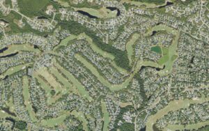
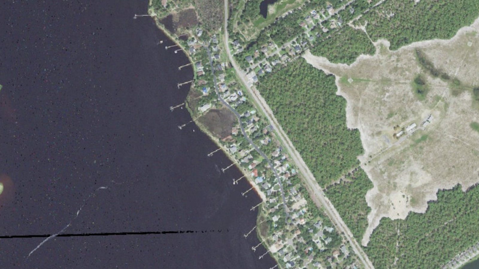
The Cape is a 1990s subdivision in unincorporated New Hanover County, 698 lots on roughly 403 acres between Carolina Beach Road and the Cape Fear River, all with Wilmington 28412 addresses. That strip of land does two different things at once. The western edge, along River Road and the tidal creeks, is low and open to the river. The interior, around The Cape Boulevard and the streets that branch off it, sits higher and drier.
Buyers who ask us this question usually have one real worry underneath it: will the flood insurance bill make the house unaffordable, and will it get worse. We cannot promise you what premiums do next. We can tell you exactly what the maps say today, what the state has already approved on the homeowners side, and which questions to ask before you are under contract.
What the flood maps actually show at The Cape
We sampled 108 points spread across the neighborhood boundary against the county’s 2025 flood hazard layer. Fifty came back Zone X, the minimal-hazard designation. Thirty-seven came back AE, three came back VE, and eighteen landed in the 0.2 percent annual chance band, the area people usually call the 500-year floodplain. AE and VE are the two zones that trigger a lender flood insurance requirement. The 0.2 percent band does not.
The pattern is geographic, not random. The AE and VE points sit along the river edge and up the tidal creeks. We re-queried the county’s flood layer on November 1, 2026 and the shape was the same: AE and VE polygons hugging the shoreline and the creek fingers, three of the AE polygons mapped as regulatory floodway, with static base flood elevations between 9 and 12 feet. Points well inland from the water came back X.
- 50 of 108 sampled points in Zone X, 37 in AE, 3 in VE, 18 in the 0.2 percent annual chance band New Hanover County 2025 flood hazard layer, sampled for our The Cape neighborhood guide, October 14, 2026
- Base flood elevations of 9 to 12 feet on the AE and VE polygons along the river and tidal creeks New Hanover County FloodHazards_2025 layer, queried by our team November 1, 2026
- 698 lots on about 403 acres, median year built 1999 New Hanover County records and American Community Survey 2020 to 2024, via our The Cape neighborhood guide, October 14, 2026
- Coastal homeowners base rates rose 16 percent on June 1, 2025 and 15.9 percent the following year, 31.9 percent over two years, with no new rate filing permitted before June 2027 North Carolina Department of Insurance settlement with the North Carolina Rate Bureau, January 2025
A base flood elevation of 10 feet is not a prediction that water will reach 10 feet. It is the elevation the maps use for the 1 percent annual chance flood, and what matters for your premium is how your lowest floor sits relative to it. Two houses on the same street, one built on a raised slab and one not, can price very differently.
What a high-risk zone costs you in practice
If the house is in AE or VE and you are financing it, your lender will require flood insurance for as long as the loan exists. That is a federal requirement tied to the zone, not a judgment about the house. Our Wilmington flood zone and flood insurance guide walks through how the zones, the elevation certificate and the premium fit together. If the house is Zone X, no lender will make you buy it, and plenty of owners there carry a policy anyway because Zone X is not a promise of dry ground.
The number you need is a real quote on the real address, pulled during due diligence and not after. We tell buyers to ask the listing agent for the current owner’s flood premium and the elevation certificate if one exists, then get their own quote in writing. An elevation certificate can move a premium a long way in either direction, and the seller’s grandfathered pricing may not transfer to you.
The homeowners side deserves equal attention. The settlement the North Carolina Department of Insurance reached with the Rate Bureau in January 2025 put a 16 percent increase on coastal homeowners base rates on June 1, 2025 and another 15.9 percent the following year, 31.9 percent across two years. No further rate request can be filed until June 2027. That is wind and hail and the rest of the policy. Flood is a separate bill on top.
What the flood map does not tell you
Three things sit outside the map and still matter at The Cape.
The first is stormwater. A Zone X lot can take water in a stalled rain event that has nothing to do with the river. Ask neighbors how the street drains in a heavy September afternoon, and look at the lot during or just after rain if you can.
The second is the closed golf course. The former Cape Golf and Racquet Club stopped operating in 2018, and the owner, Southern Destiny LLC, holds about 160 acres inside the neighborhood. The Court of Appeals decided Cape Homeowners Association, Inc. v. Southern Destiny, LLC on February 20, 2024 after the association sued in 2019 over private street use. The county showed no pending development case when we checked for our neighborhood guide. If any of those acres are ever developed, what happens to drainage on the downhill lots is a fair question to ask the HOA now.
The third is that The Cape has no single HOA. County records show a main association plus separate associations for Shipwatch Village, Marshcourt, Riparian Villas, the Sanctuary at The Cape and Cape Sunset Place Townhomes. Active listings on October 14, 2026 showed annual dues of $846 to $990. Which association you join changes who maintains what, including common drainage.
Does flood risk show up in what homes sell for here
Not in a way you can read off a single number. On October 14, 2026 there were seven active listings at The Cape, six houses and townhomes from $400,000 to $769,000 with a median asking price of $558,350, plus one lot at $185,000. Days on market ran from 7 to 161. In the twelve months ending that date, 33 improved residential properties sold, median $583,000. For comparison, the New Hanover County median sale price was $464,000 with 61 days on market, using September 2026 data on our New Hanover County market update.
So the riverfront homes carry the flood exposure and also the price premium. The water is why people pay more and why the insurance costs more. Both things are true at the same address.
Our 108-point sample tells you the shape of the risk across the neighborhood. It does not tell you the zone of the house you want, and we would not want you to treat it that way. Flood zone is determined parcel by parcel, sometimes lot line by lot line, and a single property can touch two zones. Flood maps also get revised. If your budget only works at a Zone X premium, a house on the river edge at The Cape is probably the wrong house, and we will say so rather than talk you into it. If you want the water and you can carry the insurance, the exposure here is normal for a riverfront neighborhood on the Cape Fear.
Related questions people also ask
Do I have to buy flood insurance in Zone X?
No lender can require it when the property is mapped in Zone X, because the federal mandatory purchase requirement applies only to Special Flood Hazard Areas such as zones AE and VE. Many owners in Zone X buy a policy anyway, and premiums outside the high-risk zones are usually much lower than inside them. Paying cash removes the lender requirement entirely, even in a high-risk zone, but it does not remove the risk of water in the house.
What is the difference between flood zone AE and VE?
Both are high-risk Special Flood Hazard Areas, but VE adds wave action. VE is the coastal high hazard area where the mapped flood is expected to arrive with waves of three feet or more, which is why building standards and premiums there are stricter than in AE. AE areas expect rising water without that wave force. On a riverfront neighborhood you will usually find VE only at the outermost edge.
Can I get the flood zone before I make an offer?
Yes, and you should. FEMA’s flood map service center and your county’s online flood layer will both give you a zone for an address at no cost, and an agent or lender can pull one in a few minutes. Getting the zone before you write is the cheapest step in the whole process, because it tells you whether to budget for a flood premium at all.
Pick the specific address you are considering, pull its flood zone from the county layer, and get a written flood quote and a homeowners quote on that address before your due diligence period runs out. If you want help reading the zone, the elevation certificate and what the two premiums do to your monthly payment, talk it through with our team.
Sources: Tidal Realty Partners The Cape neighborhood guide, including a 108-point sample of the New Hanover County 2025 flood hazard layer, county tax records, Hive MLS active listings and recorded sales, October 14, 2026. New Hanover County FloodHazards_2025 map service, queried November 1, 2026. North Carolina Department of Insurance settlement with the North Carolina Rate Bureau, January 2025. North Carolina Court of Appeals, Cape Homeowners Association, Inc. v. Southern Destiny, LLC, February 20, 2024. American Community Survey 2020 to 2024. Tidal Realty Partners New Hanover County market update, September 2026 data, Redfin county pages read October 17, 2026.