
The Cape
Your guide to The Cape, the 1990s golf subdivision on the Cape Fear River south of Wilmington that lost its golf course and kept everything else.
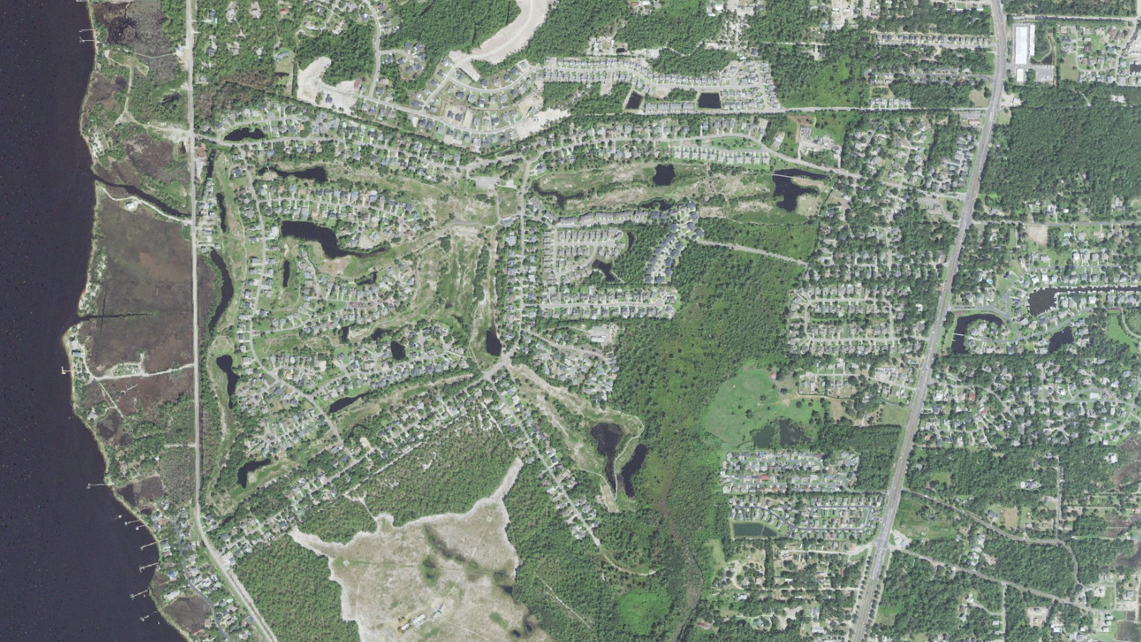
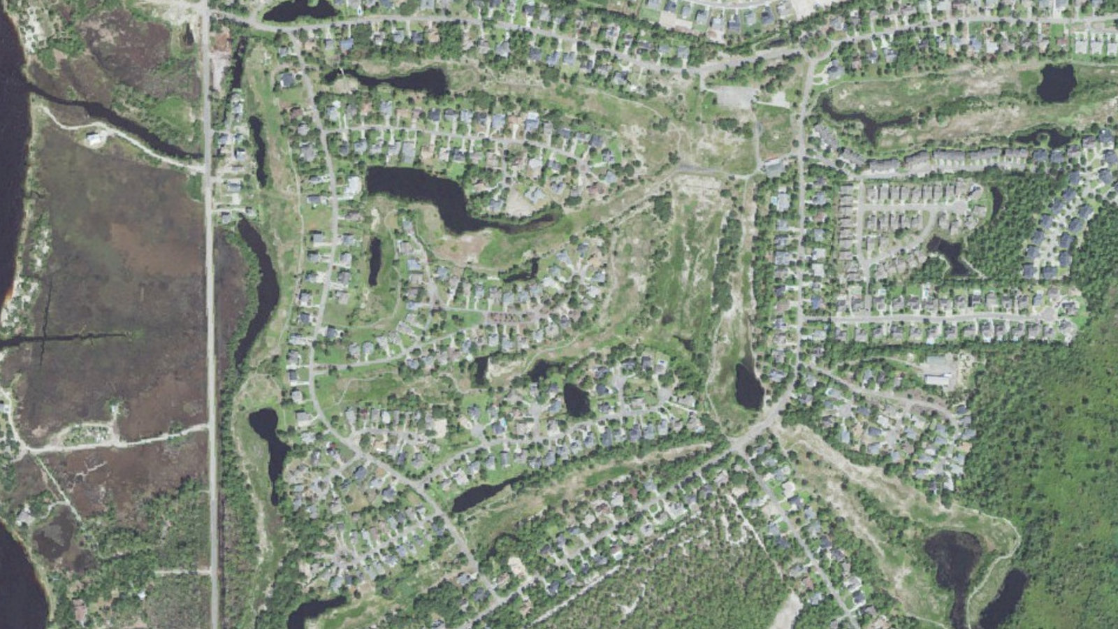
Neighborhood Overview: The Cape homes for sale
The Cape is a subdivision, not a town, and most people drive past the entrance on the way to the beach. New Hanover County records it as 698 lots on about 403 acres between Carolina Beach Road and the Cape Fear River, south of the Wilmington city limits. Every address reads Wilmington 28412. We sampled 108 points inside the boundary against the county’s municipal limits layer on October 14, 2026, and all 108 came back unincorporated, so there is no city tax line on a bill here.
County tax records for 2026 list 522 parcels inside the boundary, 504 of them residential. Of those, 477 carry a house or a townhome and 27 are vacant lots, and all of it is zoned R-15. The American Community Survey for 2020 through 2024 puts the median year built in the block group covering most of the neighborhood at 1999, with 633 of 657 occupied units owner-occupied.
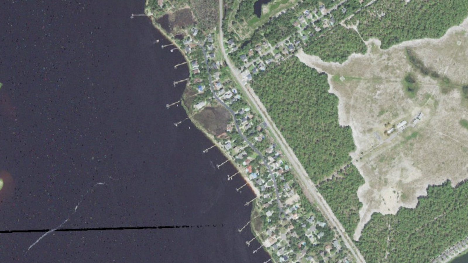
It reads as one place but it was platted in pieces, and the deeds still show it: Pinehurst at The Cape, Fairways at The Cape, Shipwatch Village, Telfair Summit Townhomes and several numbered sections. Housing runs from townhomes under 1,800 square feet to riverfront houses on half-acre lots, median heated area 2,221 square feet. The top of the market is Shipwatch, where lots reach the river and homes keep private piers, and two of those houses carry 2026 county appraisals of $1,157,800 and $1,414,600.
Home Price Ranges
On October 14, 2026 an IDX feed of Hive MLS listings for the subdivision carried seven, all active. Six were houses and townhomes, from a 1,764 square foot townhome on Tiara Drive at $400,000 through three 1990s houses between $490,000 and $570,000 to a 2023 house on The Cape Boulevard at $769,000. The seventh was a lot at $185,000. Median asking price was $558,350, and days on market ran from 7 to 161.
Seven listings is thin, so look at the county’s own records. The 2026 appraised value of the 477 improved residential parcels runs $165,200 to $1,607,000, median $540,900. Taking the most recent recorded sale on each parcel, 33 improved residential sales fall inside the 12 months ending October 14, 2026, median $583,000. Some of those are family or estate transfers.
Our New Hanover County market update puts the county median sale price at $448,000 for the three months ending August 2026, down 3.5 percent year over year, with 58 days on market. The Cape sells above that and sits longer.
Lifestyle & Community
- River Road Park, 6500 River Road: the closest county park, with a launch for kayaks and small boats, an accessible fishing pier and a playground.
- Carolina Beach State Park, 1010 State Park Road: a marina with a ramp and slips reaching the Cape Fear River and the Intracoastal Waterway, nine miles of trails, camping, and the Venus flytrap growing wild.
- Veterans Park, 835 Halyburton Memorial Parkway: nine lighted tennis courts, lighted ball fields and a playground, on the campus of two of the assigned schools.
- The Carolina Beach boardwalk: 4.6 miles and about 9 minutes by road, about as close to the sand as a mainland address here gets.
Here is the honest part. The Cape has no commercial strip and no restaurant you can walk to. Buyers who want to walk to dinner should look at Carolina Beach or Historic Downtown and give up the lot size.
Schools & Education
The Cape is served by New Hanover County Schools, and the elementary line runs straight through it. We sampled the same 108 points against the boundary layer behind the district locator:
- Elementary. About 78 percent of points, the center and west, go to Carolina Beach Elementary, 400 South 4th Street. The eastern 22 percent goes to Edwin A. Anderson Elementary, 455 Halyburton Memorial Parkway.
- Middle. Every point feeds Charles P. Murray Middle, 655 Halyburton Memorial Parkway.
- High. Every point feeds Eugene Ashley High, 555 Halyburton Memorial Parkway.
The North Carolina School Report Cards site, read October 14, 2026, carries year 2025 performance grades of B for Carolina Beach Elementary at a score of 82, B for Anderson at 77 and B for Murray at 79, all three exceeding growth, and a C for Ashley at 66, which did not meet growth. One caution. The district’s address lookup layer still carries 2022 to 2023 field names, so run the exact address through the locator before you write an offer.
Getting Around
The Cape is closer to the beach than to the city, and that is the trade. By road routing calculated October 14, 2026 from the middle of the neighborhood, the Carolina Beach boardwalk is about 4.6 miles and 9 minutes. The other way, Monkey Junction is about 6.7 miles and 12 minutes, downtown Wilmington about 14.0 miles and 26 minutes and the airport about 20.8 miles and 39 minutes, all free flow estimates.
Two roads do the work, and the neighborhood has an exit onto each: The Cape Boulevard onto Carolina Beach Road, US 421, and Sedgley Drive onto River Road. Two ways out matters here, because US 421 carries everything headed to Pleasure Island and backs up on summer weekends.
There is no bus. The county’s 2025 Wave Transit layers show no fixed route and no stop near the neighborhood, and the nearest is at Monkey Junction. Against Myrtle Grove, The Cape buys a shorter beach run and a longer commute. Against Kure Beach, it buys more house off the island.
What Buyers Should Know
The golf course is closed and its future is unsettled. County tax records for 2026 show Southern Destiny LLC holding eight parcels whose legal descriptions read The Cape Golf and Racquet Club, about 160 acres appraised at $6.19 million and zoned R-15. The largest is 70.29 acres at 535 The Cape Boulevard. The North Carolina Court of Appeals, in Cape Homeowners Association, Inc. v. Southern Destiny, LLC, decided February 20, 2024, records that the owner stopped operating a golf course there in 2018 and has sought to develop portions of it, and that the association sued in 2019 over use of the private streets. The county shows no pending development case there today, but the open green behind the back windows is privately owned land zoned for houses, and no one can promise you it stays open.
More than a third of the neighborhood is in a flood zone. We queried the county’s 2025 flood hazard layer at the same 108 points. Fifty came back Zone X, minimal hazard, 37 came back AE with base flood elevations of 9 to 11 feet, three came back VE, the coastal high hazard zone, and 18 fell in the 0.2 percent band. The AE and VE points sit along the river edge and the tidal creeks. Pull the determination, and if it reads AE or VE, get a written insurance quote.
Coastal insurance is moving in one direction. Under the settlement the North Carolina Department of Insurance reached with the Rate Bureau in January 2025, homeowners base rates in the beach areas of New Hanover, Brunswick and Pender counties rose 16 percent on June 1 and 15.9 percent the following year, 31.9 percent across two years, and no further request can be filed until June 2027. Ask which territory the address falls in, and ask for the wind and hail deductible in writing.
There is no single homeowners association. County records show the main association owning common tracts of 5.48 and 5.11 acres, with separate associations for Shipwatch Village, Marshcourt, Riparian Villas, the Sanctuary at The Cape and Cape Sunset Place Townhomes on top of it. The active listings report annual dues of $846 to $990 and name a clubhouse, a community pool and common area maintenance. Ask which section the parcel sits in, then read that section’s covenants.
Confirm utilities, and watch Carolina Beach Road. The Cape Fear Public Utility Authority says its service area covers Wilmington, Wrightsville Beach and much of unincorporated New Hanover County. Much of is not all of, and the listings here show a mix of sewer connected and sewer available. The state’s 2026 to 2035 transportation program funds project U-5790, a $54.5 million widening of US 421 from South College Road to Sanders Road, construction in 2029.